
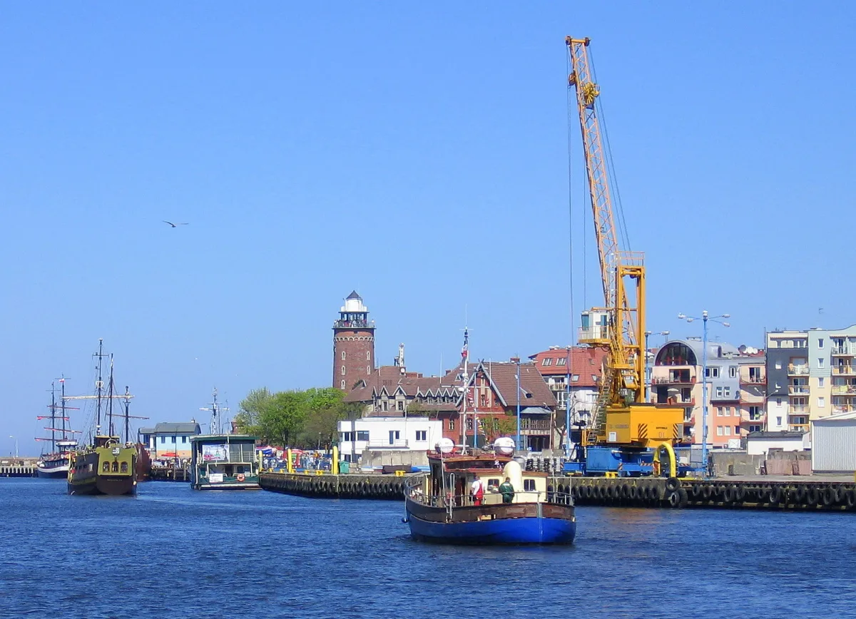
The Parsęta and its largest tributary, the Radew, flow from the lakeland towards the Baltic and meet in Karlino. The first ends its course in the port in Kołobrzeg, while the second has two reservoir lakes along its route. Both are kayak routes, but of very different character: the lower section of the Parsęta is easy, while the upper sections of both rivers require portages.
The Parsęta from Parsęcko to the port in Kołobrzeg
According to Wikipedia the Parsęta is 139 km long and has a catchment area of 3151 km². It rises near Parsęcko in the Drawsko Lakeland, about 7 km north-west of Szczecinek, and its source lies at an altitude of about 137 m above sea level. It flows north-west to Białogard, where it leaves the lakeland and begins to meander. Near Pustary it enters the Koszalin Coastland and reaches Kołobrzeg along a fairly straight stretch. The towns on the river are Białogard, Karlino and Kołobrzeg. In Karlino stands the castle of the bishops of Kamień.
The river was formerly called Prośnica in Polish and Persante in German. According to Wikipedia the name Parsęta has been official since 1948 and replaced the German one. The origin of the name has not been explained. The entry mentions an Indo-European hypothesis, from a root meaning splashing, and a Slavic one, from the word for piglet, and notes that neither explains it fully. The oldest records go back to the 12th century: Parsandi in 1159 and Persandi in 1179.
The kayak route and the power stations
According to Wikipedia the section from Białogard to Kołobrzeg is easy and suitable for mass tourism. In the upper and middle course, as far as Byszyno, the route is in places very difficult: there are fallen trees and branching willows, narrow points, side currents and sharp bends, and portages can be longer than 50 metres.
There are three small hydroelectric power stations on the river. The best known is the one in Rościno, at the 53rd kilometre. According to Wikipedia, the world's first submerged hydroelectric power station was built there in 1935-1936: the turbines lie below the riverbed, and the dam is about 4 m high. The entry on the power station gives two generators of 120 kW each, while the entry on the river gives a total capacity of 418 kW, so the figures differ. According to Wikipedia the dam is an obstacle for salmonids going upstream to spawn, and the existing fish pass has a faulty design. In 2013-2014 the facility was modernised so thoroughly that the original ceased to exist. Smaller power stations stand in Storkowo (20 kW) and Pustkowo (up to 35 kW).
Sea trout and salmon in the river
Wikipedia calls the Parsęta a river where migratory sea trout and salmon spawn, although it gives no figures. Since 1997 the Salmo Parsęty spinning competition has been held on it, ending the season for catching these fish when they begin their mating period. The river valley is protected by the Natura 2000 area Parsęta Basin. From 20 March to 31 May a protected zone applies on the stretch from the start of the Drzewny Canal in Budzistowo to the railway bridge on Solna Street in Kołobrzeg, and in the waters of the port from 15 September to 31 December sea trout and salmon are protected, with a ban on spinning. In 1992 the Union of Towns and Municipalities of the Parsęta Basin was established, bringing together 23 municipalities.
The mouth in Kołobrzeg
From the railway bridge on Solna Street, the estuary section of the Parsęta consists of internal marine waters. Together with the Drzewny Canal, the river forms there the harbour basin and the entrance channel to the port in Kołobrzeg, and ships moor at the quays.
The Radew: reservoir lakes and the Żydowo - Karlino route
According to Wikipedia the Radew is 83 km long and has a catchment area of 1091.5 km². Its sources lie near the village of Żydowo in the Bytów Lakeland, about 8 km east of Bobolice, and from Lake Kwiecko the river flows out already under the name Radew. In its upper course it is called the Debrzyca. The mouth is in Karlino, where, before joining the Parsęta, the water is diverted into a power canal and a power station with a capacity of 155 kW and a fish pass. The Radew valley is a protected landscape area and a Natura 2000 area.
Two lakes along its course are reservoir lakes. Lake Rosnowskie was created in 1922 by damming the river with an earth dam and covers about 190 ha, and according to Wikipedia it is one of the oldest retention reservoirs in Poland. Hajka covers 92 ha, and its dam raises the water by 9.1 m and feeds a historic power station from 1912. The entry adds that in publications the lake is also sometimes called Niedalińskie. The power station in Rosnowo has, according to the entry on the Radew, 3300 kW, according to the entry on the lake 3.2 MW, and the one in Niedalino 1100 kW. On both lakes a ban on combustion engines applies from 1 April to 30 September.
The Żydowo - Karlino kayak route is about 50 km long and leads mainly through wooded areas. It is relatively difficult: in the upper and middle course there are boulders and rapids, and portages have to be made at the power stations. Campsites and bathing areas have been set up on the shores of the reservoirs.
Be the first! Add a comment.
You need to log in to add a comment.
Log in