
A strait that changes direction
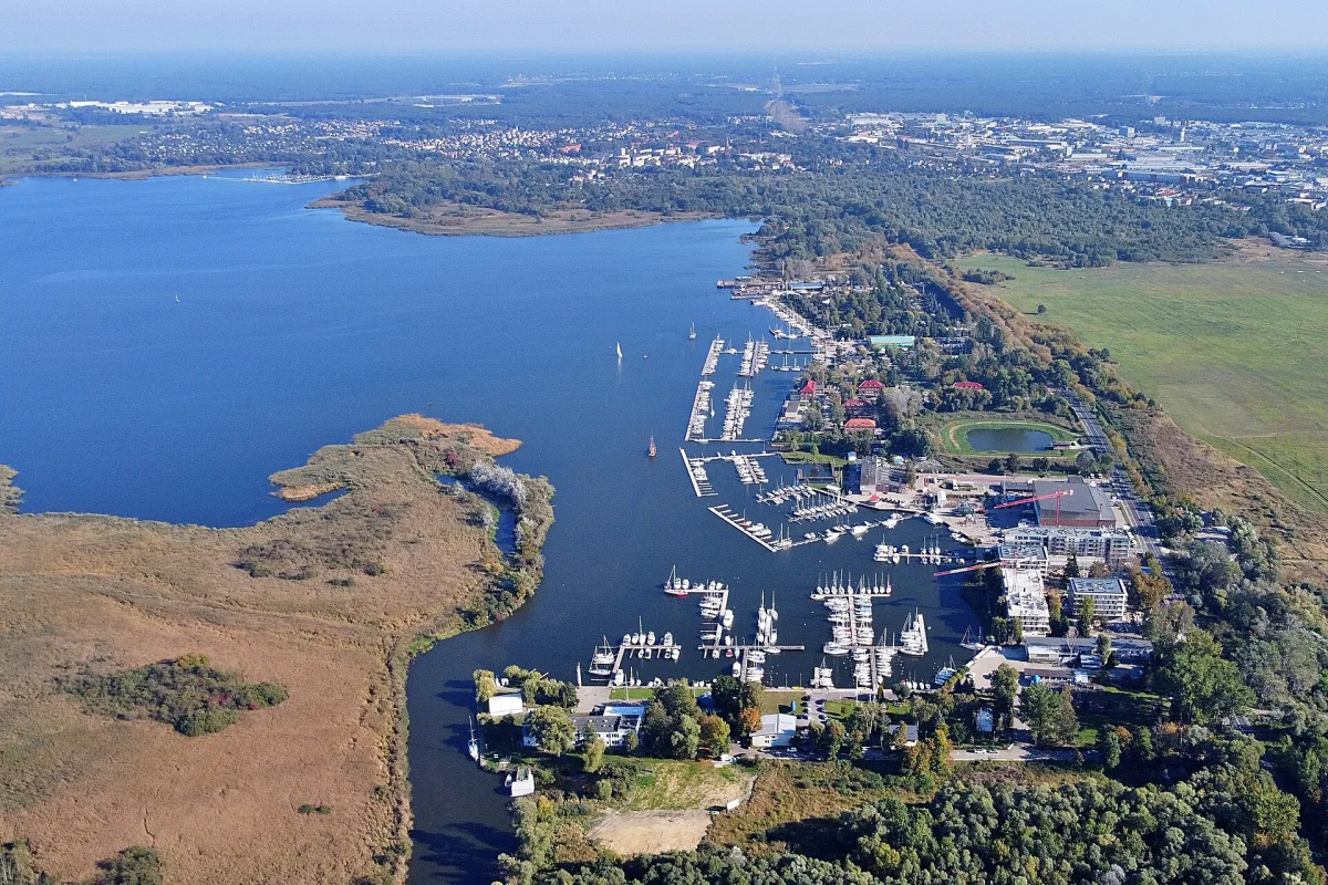
According to Wikipedia, the Dziwna is a strait 30.348 km long that links the Szczecin Lagoon with the Baltic Sea. It separates Wolin Island from the mainland on its eastern side. At its southern end lies the town of Wolin, at Kamień Pomorski it forms the Kamień Lagoon, and through Wrzosowska Bay, on which Dziwnówek and Wrzosowo lie, it flows into the Pomeranian Bay at Dziwnów itself.
According to the same entry, about 10 per cent of the lagoon's waters flow out through it, while most go through the Świna (75 per cent) and the Piana (15 per cent). The water in the Dziwna changes direction depending on the season and the wind: it most often flows out in spring, and with north-westerly winds there are inflows from the Pomeranian Bay. The official Polish name Dziwna was established in 1949 and at that time the strait was wrongly described as a river, and before 1945 the German name Dievenow was used.
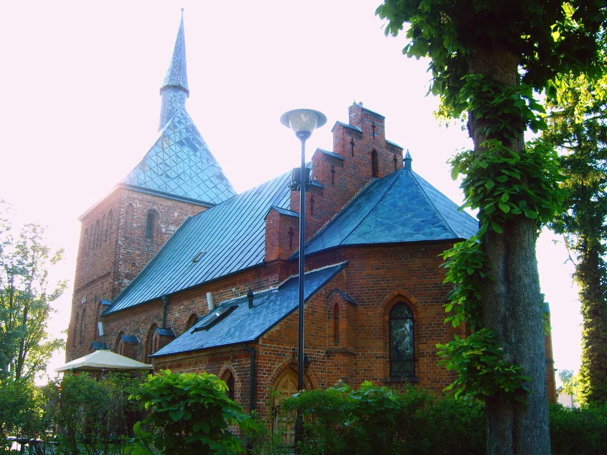
Dziwnów lies on both sides of this strait. According to Wikipedia, the western part stands on the Międzywodzie Peninsula on Wolin Island, the eastern part on a spit belonging to the Trzebiatów Coast. The town was formed in 2004 from the merger of Dziwnów, Dziwnów Dolny, Dziwnów Górny and Dziwna. To the east, about 4.5 km from the centre, lies Dziwnówek, and right next to it a cliff protected since 2017, the Klif w Dziwnówku nature reserve. In Dziwnówek itself stands also the Church of St Maximilian Maria Kolbe, whose foundation deed was walled in on 18 July 1982.
Mouth, port and breakwaters
According to Wikipedia, in 1170 the ships of the Danish king Valdemar the Great tried to escape through the mouth of the Dziwna, but ran into shoals and had to turn back to the battle with the Pomeranian fleet near Połchowo. Dziwnów was first mentioned in a document from 1243. In the early Middle Ages a trade route from the Szczecin Lagoon to the Baltic ran this way, but in the 13th century the Dziwna silted up and lost its commercial importance. Around 1620 a small fortress was built at the mouth, which Swedish troops burned on 2 July 1630. The Swedes rebuilt it in 1659 and held it until 1677.
According to Wikipedia, the Dziwnów seaport lies on the spit, between the strait and the Baltic shore. It was formally established in 1963. The entrance from the sea is guarded by two breakwaters, built from 1892 and put into use in 1900, and rebuilt to their present size in 1958-1963. Wikipedia is not consistent here in the figures: the entry on the town gives lengths of 351 m (eastern) and 342 m (western), and the entry on the port 356 m and 342 m.
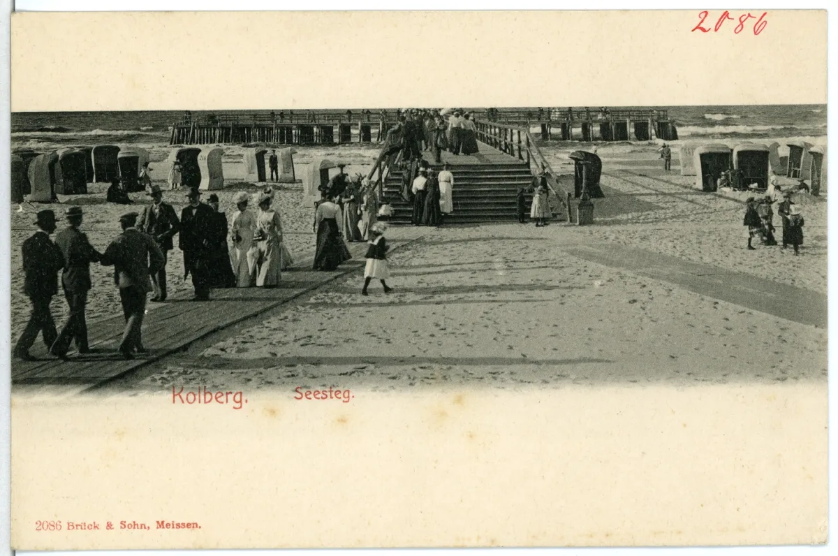
The mouth also changed the character of the town. According to Wikipedia, the first spa guests began to come to Dziwnów in the years 1820-1830, and in 1895 the Kurhaus Ost-Dievenow hotel, the largest hotel on the Baltic coast according to this entry, was built by the beach. In 2019 the Morskie Centrum Nauki Nautica Park was opened in the town, which according to Wikipedia presents the history of the town and region and maritime curiosities.
The drawbridge over the Dziwna
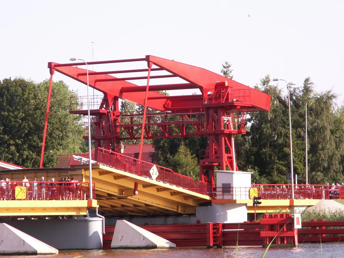
A road bridge on voivodeship road no. 102 spans the strait. According to the entry on the bridge, until the mid-1950s the part of the town lying on Wolin Island had no permanent connection with the mainland. The first wooden bridge with a lifting span was built in 1956, and the present steel bridge was put into use in 1994. According to Wikipedia, construction lasted in the years 1991-1994. The span opens electrically and works on the counterweight principle: weights balance the weight of the roadway. After it is raised, a passage for vessels is created. This is the drawbridge in Dziwnów.
The entry on Dziwnów describes the earlier crossings somewhat differently. A report of 9 March 1945 shows that at that time there was only one bridge at Dziwnów, with a load capacity of 5 tonnes. According to this entry it was dismantled in 1950 after an accident in which a military vehicle fell into the water, and in the same year sappers built a new, wooden one. In the years 1953-1958 a semi-permanent bridge was built. The year 1956 from the entry on the bridge and this sequence need not exclude each other, but Wikipedia does not explain how to reconcile them.
The figures for the span itself also differ. The entry on the bridge gives a span of 16 m. According to the entry on the port, the width of the navigable channel between the piers of the lift span is 9.8 m (with a width of 14.4 m between the piers), the vertical clearance when the bridge is closed is 2.2 m, and the span rises at most 75 degrees from the horizontal.
The coastal rescue station from 1886
The sea treated this shore harshly, which is why in 1886 the German Society for the Rescue of the Shipwrecked founded a coastal rescue station in Dziwnów. According to Wikipedia, it was equipped with an oar-and-sail lifeboat and a rocket-and-line apparatus, which was used to rescue people from stranded ships. In the winter of 1912/13 the pressure of ice destroyed the station building, and it was rebuilt in 1914, a little further from the shore.
According to Wikipedia, on the night of 30 to 31 December 1913 a powerful storm also destroyed the spa house, that is the Kurhaus hotel. Sea rescue remained in the town: Wikipedia today lists in Dziwnów a station of the Maritime Search and Rescue Service and a water rescue group.
A trace of the rescuers appears in the history of the Church of St Joseph the Spouse of the Blessed Virgin Mary. According to Wikipedia, the boat-shaped church was consecrated on 28 August 1977, and it was built on the site of the sea rescue fire station. The entry does not say whether this refers to the station building from 1886 or 1914.
Be the first! Add a comment.
You need to log in to add a comment.
Log in