
From the source in Zdroje to the Noteć
According to Wikipedia, the Drawa is 185.9 km long and has a catchment area of 3,296.4 km². The tourist website of the voivodeship self-government gives the same length. The river's source lies in the settlement of Zdroje in the municipality of Połczyn-Zdrój, in Drawsko Landscape Park, at an altitude of about 200 m above sea level. The mouth at the Noteć, near Krzyż Wielkopolski, is at about 30 m above sea level. According to the voivodeship website, 41 km of the river's course lies within the landscape park. The mouth itself lies already outside West Pomerania: the last stretch marks the border between the Greater Poland and Lubusz voivodeships, and the river flows into the Noteć near Bielice Nowe.
Just beyond its sources the Drawa flows through the nature reserve Dolina Pięciu Jezior (Valley of Five Lakes), that is, successively through lakes Krzywe, Krąg, Długie, Głębokie and Małe. According to the description of the reserve, they lie in a deep glacial channel, and the area is called the Połczyn Switzerland. The river then flows through Prosino and Żerdno to Lake Drawsko, then through Złocieniec, Drawsko Pomorskie, Lake Lubie, Wielkie and Małe Dębno, Prostynia and Drawno, where Drawa National Park has its seat.
According to Wikipedia, the name of the river is considered by many researchers to be pre-Slavic, and the entry points to two hypotheses: derivation from an Indo-European root meaning course and flowing, or from a Slavic adjective meaning something fast and violent. The name Drawa was officially introduced in 1949 in place of the German Drage.
The Karol Wojtyła kayak route
The route known as the Silver Kayak Route of the Drawa named after Karol Wojtyła begins in Czaplinek, on Lake Drawsko. The length of the route is given differently. The voivodeship self-government website and Wikipedia speak of 173 km to the mouth, while according to National Geographic Traveler it is 171 km, because the route ends in Bielice Nowe. Wikipedia notes that the end of the route is in Krzyż, 2.4 km from the mouth. The voivodeship website estimates the time needed at 8 to 10 days, and National Geographic Traveler at 8 to 12 days.
Wikipedia divides the route into two parts, because it is interrupted by the Drawsko military training area. The northern part lies in Drawsko Landscape Park and in the Drawsko Lakeland, the southern part in the Drawsko Forest and Drawa National Park. According to the same source, the character of the river changes from stretch to stretch. In the upper course it flows through numerous lakes, meanders among forests and meadows, and the current is calm, sometimes even lazy. After leaving Lake Lubie the river becomes shallower and speeds up, and the swift current and stony bed make it resemble mountain rivers. The last stretch, from the national park to the Noteć, has the character of a typical lowland river.
More difficult spots and the ban in the training area
On most stretches the route is, according to Wikipedia, comfortable, with local difficulties. In Drawa National Park it can be difficult and has a foothill character: the river there is wide and deep, the current is swift, and many fallen trees lie in the water. On lakes Drawsko and Lubie, kayakers may be surprised by crosswinds and waves.
The stretch between Lake Dąbie Wielkie and the Borowo hydroelectric power station leads through a closed part of the Drawsko military training area. Paddling is forbidden here because, according to Wikipedia, it is the central point of shell impact, and the river has not been cleared of unexploded ordnance and other dangerous materials. The voivodeship self-government website also calls this ban strict. On the route there are also two hydroelectric power stations: Kamienna in Głusko, operating, according to Wikipedia, since 1896, and Borowo, built, according to Wikipedia, in 1917. The voivodeship website dates both to the 19th century, so the date given for Borowo is not consistent.
Wojtyła on the Drawa
According to the tourist website of the voivodeship self-government, Fr Karol Wojtyła began his first trip down the Drawa on 18 July 1955 at the place where the town beach in Czaplinek is today. The same website states that he was also on the Drawa in 1961 and 1967. National Geographic Traveler, on the other hand, writes that Wojtyła paddled the route twice. For the fiftieth anniversary of the first trip it was decided to erect in Czaplinek a monument to the pope, an honorary citizen of the town. The sculpture was designed and made by the Poznań sculptor Robert Sobociński, and unveiled on 3 June 2005.
Fish and castles by the river
According to the voivodeship website, more than 30 species of fish live in the Drawa. There are stretches with trout, bream, barbel and grayling, and the grayling reaches above-average sizes in these waters. Wikipedia also describes a less cheerful chapter: the dredging of the reservoir of the Kamienna power station in 1982-1983 became, according to it, the last act in the extinction of the Polish population of salmon.
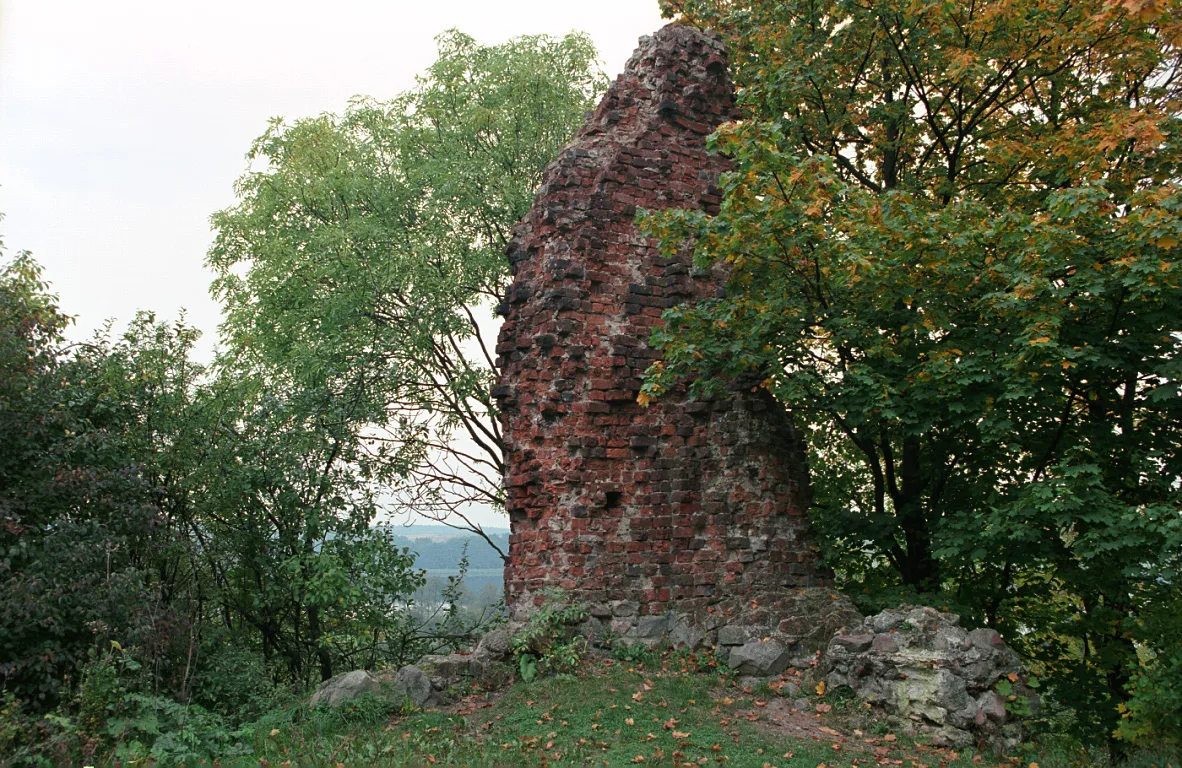
In Drawno the river flows through Lake Rudno, on which stand the ruins of the Wedel castle from the turn of the 13th and 14th centuries. According to the voivodeship website, the national park protects rare plant species as well as beech woods and riparian forests, which dominate the forested stretches of the river. The manager of Drawsko Landscape Park, in turn, describes its small rivers as miniatures of mountain streams.


Be the first! Add a comment.
You need to log in to add a comment.
Log in