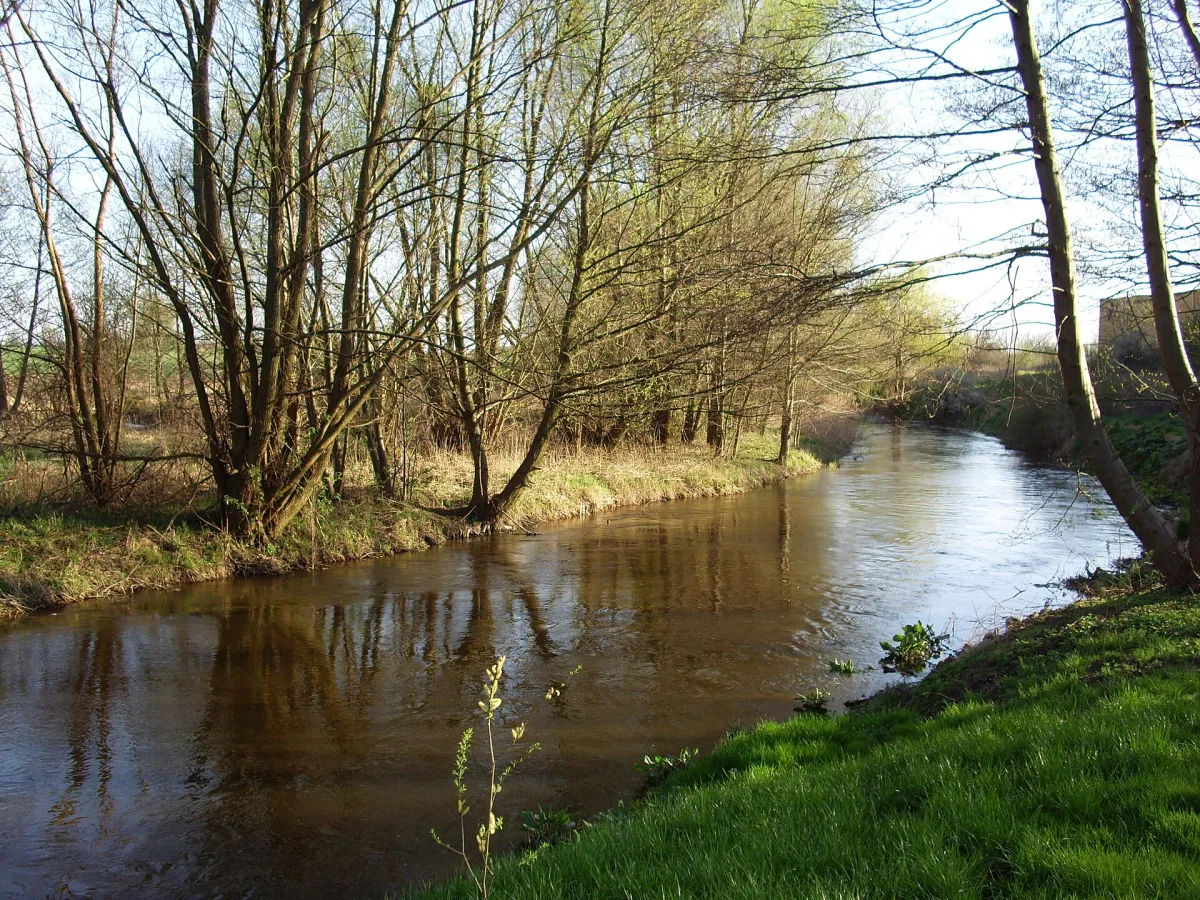
A river 185.9 km long and a kayak trail from Czaplinek to Krzyż, with a section in the Drawa National Park open in set periods and a ban on paddling through the training area.
The Drawa is a river 185.9 km long that flows through the Drawsko Lakeland and the Drawsko Plain, and in its lower course through the Drawa Forest, before joining the Noteć. It is one of the main kayaking rivers of West Pomerania, and its middle section lies in the Drawa National Park.
The source of the Drawa is near the village of Zdroje in the municipality of Połczyn-Zdrój, in the Drawsko Landscape Park. The river passes through the Valley of Five Lakes nature reserve, Lake Drawsko, Złocieniec, Drawsko Pomorskie and Lake Lubie, and then Drawno, where the national park has its headquarters. It leaves the park near the village of Stare Osieczno, marks the border between the Greater Poland and Lubusz voivodeships and joins the Noteć near Krzyż Wielkopolski (Bielice Nowe).
The trail starts in Czaplinek on Lake Drawsko (173 km from the river mouth) and ends in Krzyż (2.4 km from the mouth). The Drawsko military training area splits it into two parts: the northern one, through the Drawsko Landscape Park and the Drawsko Lakeland, and the southern one, through the Drawa National Park and the Drawa Forest. Most of the trail is comfortable, with occasional difficulties. On lakes Drawsko and Lubie paddlers should expect side wind and waves.
Paddling is not allowed on the stretch between Lake Dąbie Wielkie and the Borowo hydroelectric plant: the river runs there through a closed part of the training area and is not cleared of unexploded ordnance and other hazardous material. Along the way you pass two hydroelectric plants, in Borowo and in Głusko.
After leaving Lake Lubie the river changes character: it becomes shallower and faster, and the current and stony bed make it resemble a mountain river. In the national park it is wide and deep, but the current is swift and many fallen trees lie in the water, so the route calls for attention.
The open section of the park runs from Drawno (the outflow from Lake Dubie) to the mouth of the Płociczna on the park boundary. The stages run from the “Drawnik” water marina through stopping points and campsites: Barnimie, Bogdanka, Sitnica, Pstrąg and Kamienna. Kayak pick-up points are at the Zatom bridge and at the low-water bridge.
The Drawa within the park is open from 1 January to 15 March and from 1 July to 31 December, between 9.00 and 19.00. No more than 750 people may be on the river at the same time. Tickets are bought through the bilety.dpn.pl service. Detailed rules of tourist access, regulations and notices about disruptions are published on the park website.
In Drawno, right by the river, stands Drawno Castle.
Next to it is the Granary Museum in Drawno.

Be the first! Add a comment.
You need to log in to add a comment.
Log in