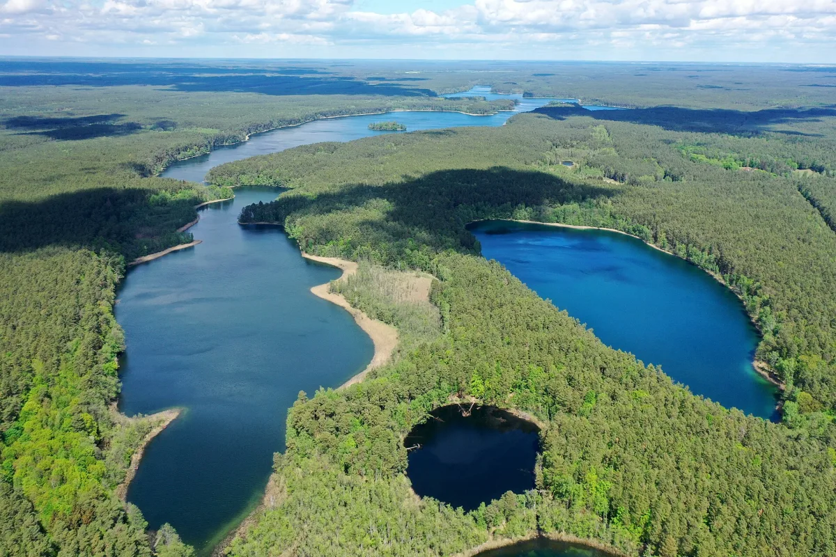
A national park from 1990 in the Drawsko Forest, with a 41 km canoe route on the Drawa, nature trails and beech woods.
Drawa National Park lies in north-western Poland, on the Drawsko Plain, within the Drawsko Forest complex. The park directorate is based in Drawno at Leśników 2. The park was established on 1 May 1990 in three voivodeships: Lubusz, West Pomeranian and Greater Poland. For visitors it is a canoe route on the Drawa and a network of walking paths and cycling routes through beech woods.
The park now covers 11,535.66 ha, of which 5,470.67 ha lies in the West Pomeranian Voivodeship, in the Choszczno and Wałcz counties. Originally it covered 8,691.5 ha. Forests make up 83 per cent of the area, mostly beech and oak-beech woods and pine forests. Lakes and rivers together take up 10 per cent, and there are 20 bodies of water in the park. The largest is Lake Ostrowite, and Lake Czarnka stands out nationally. The main rivers are the Drawa and the Płociczna. The most valuable parts, 12 strict protection areas covering 1,391.62 ha, are not intended for visiting. In the West Pomeranian part they include the Drawa Gorge, Runica, Głodne Jeziorka and the Płociczna Valley.
The educational paths in the park are known as nature trails and are marked with green fir trees on a white square. Five such trails have been laid out: “Drawnik”, “Barnimie” and “Międzybór” in the north-western part, and “Głusko” and “Jezioro Ostrowieckie” in the south. The park gives the length of the “Drawnik” trail as 4.3 km and “Jezioro Ostrowieckie” as 7 km. There is also a geological trail, “Petrography of the Drawa Area”, 3.8 km long, and a blue cycling route, the “Barnimie Loop”, 33.16 km long. From Drawno it is a short distance to Drawno Castle and the Granary Museum.
The Drawa within the park is open for canoe trips from Drawno (the outflow from Lake Dubie) to the mouth of the Płociczna, a stretch of 41 km. The stages are divided by landings, stops and campsites: the “Drawnik” water landing, the “Most Barnimie” stop, the “Barnimie” campsite, the “Kładka Konotop” stop, the “Most Zatom” canoe collection point, the “Bogdanka”, “Sitnica”, “Pstrąg” and “Kamienna” campsites, and a second canoe collection point, “Most niskowodny”. The longest stage, between the Bogdanka and Sitnica campsites, is 7.9 km.
Only paddle-powered craft are allowed, for a fee, from 1 January to 15 March and from 1 July to 31 December, between 9:00 and 19:00. No more than 750 people may be on the river at one time. A short stretch of the Korytnica river is also open, from the Bogdanka bridge to the Bogdanka campsite. Boating is prohibited on other waters, and the Płociczna is not among the sections open for canoe trips.
Walking trails, educational paths and nature trails are open all year round from dawn to dusk, and you may cycle or cross-country ski along them. A fee is charged for access to the park, and the document that entitles you to enter is an entry ticket, bought at the park's tourist information points or online. Dogs are not allowed. Campfires may be lit only in designated places at campsites, and campervans and caravans may stand only at the Pstrąg campsite. Angling requires a licence with an angler's card.

Be the first! Add a comment.
You need to log in to add a comment.
Log in